

EcoSpatial Apps is a versatile suite of GIS tools designed to help clients visualise, analyse, and manage spatial data with ease.
Our apps can be hosted on our secure ArcGIS Online platform or integrated into your ESRI existing system, and provide powerful, intuitive mapping solutions tailored to your needs.
-

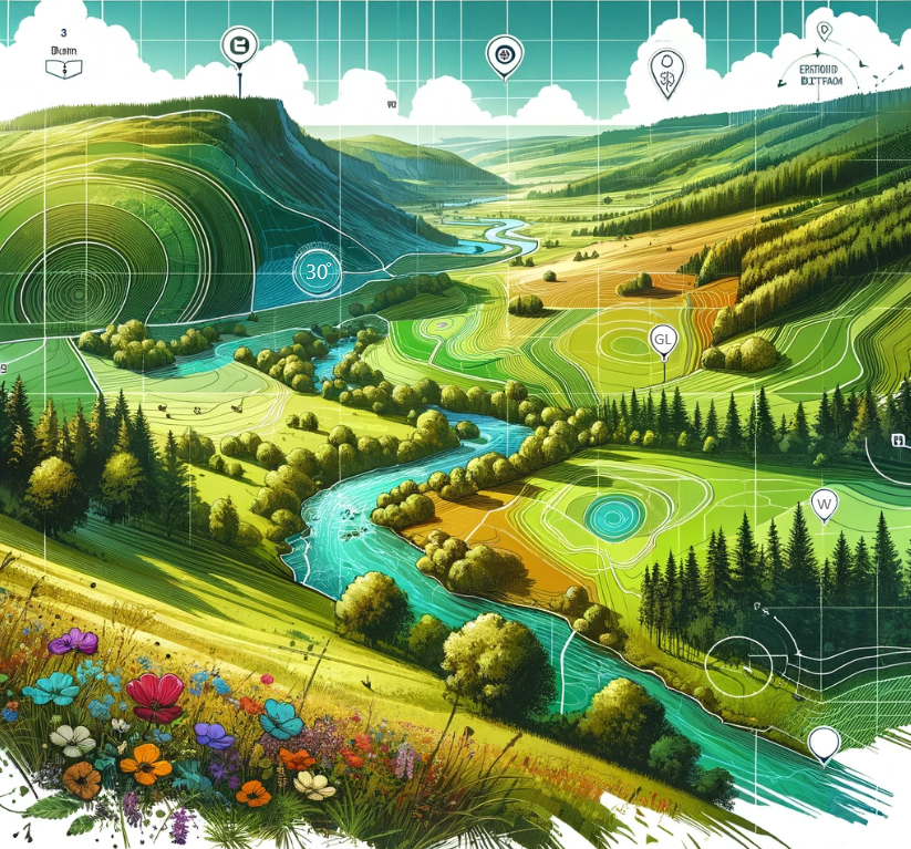
Biodiversity Net Gain
EcoSpatial’s Data Optimisation for Biodiversity Net Gain Service supports the implementation of the new Biodiversity Net Gain (BNG) legislation through accurate data management and governance. Our Data Optimisation service allows us to support your BNG data collection, storage, and visualisation through the project life cycle.
-

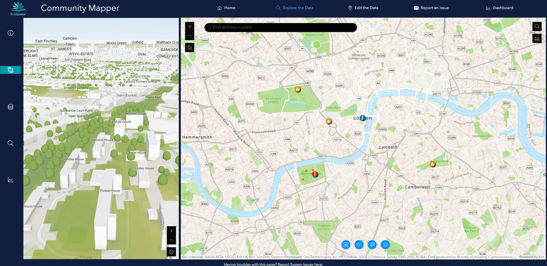
Community Mapper
Community Mapper is an interactive platform designed to empower communities, enhance green spaces, and improve accessibility through crowdsourced data and collaborative mapping. This solution combines multiple tools to help identify issues, map local knowledge, and analyse urban infrastructure for better decision-making.
-

Estates Mapper
Estates Mapper is a powerful GIS application designed specifically for landowners, estate managers, and rural professionals to efficiently manage their land and assets. With interactive mapping, real-time data insights, and intuitive tools, it simplifies estate planning, compliance tracking, and environmental monitoring—all in one place.
-
Bespoke Maps and Apps
Transform your data into actionable insights with EcoSpatial’s powerful Data Visualisation offering. Designed to make complex information accessible and impactful, our solution combines advanced analytics with stunning visuals, including charts, graphs, maps, and interactive dashboards.